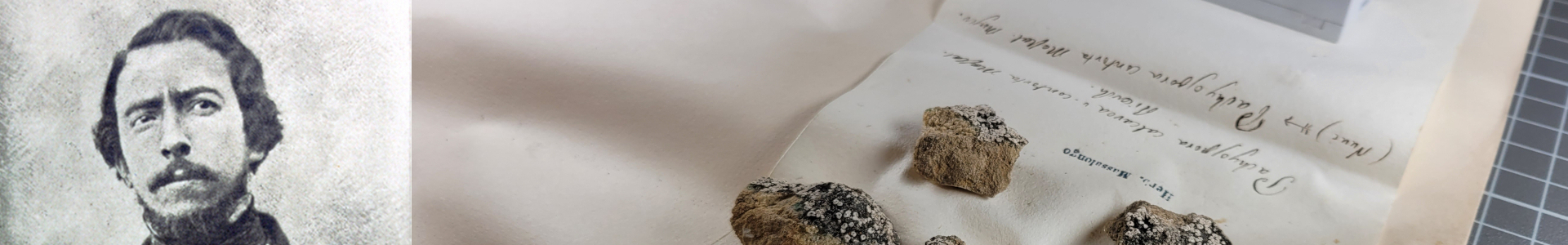
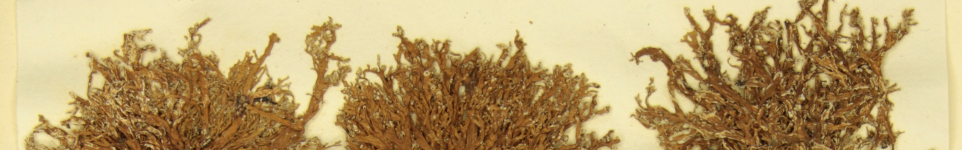
Cladonia coenotea
Date of collection: 1855
Locality of collection: in Baldo Monte (Pian della Cenere)
Locality of collection (inferred): Italia, TAA, TN - Monte Baldo, Pian della Cenere (View on Google Maps)
Latitude: 45.7280040
Longitude: 10.8826480
Georeference uncertainty (meters): 500 - Expert assessment based on Google Maps, Arcanum Maps, and IMGI - Italian Military Geographic Institute.
UID in the Museum's catalogue: MSNVE-25663
Verbatim label transcription: Cladonia coenotea L. in Baldo Monte (Pian della Cenere) 1855