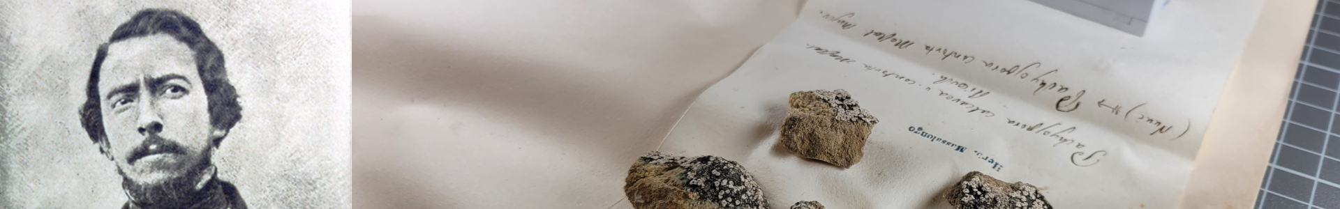
Biatora rupestris v. calva
Data di raccolta: 1855
Località di raccolta: In opp. Bolca
Località di raccolta (interpretata): Italia, VEN, VR, Vestenanova - Bolca (Vedi su Google Maps)
Latitudine: 45.5961638
Longitudine: 11.2043594
Incertezza della georeferenziazione (metri): 536 - Calculated on the basis of the radius of the circle encompassing the vertexes of the bounding box outputed by the Google Geocoding API
UID nel catalogo del Museo: MSNVE-25504
Trascrizione del cartellino verbatim: Biatora rupestris v. calva (forma) Massal. Ricerch. In opp. Bolca 1855